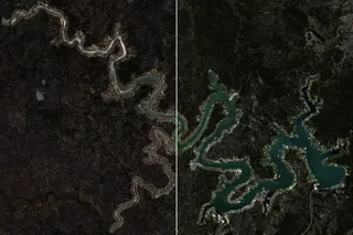
A deep-learning model against a one-line water index on the Texas Highland Lakes, scored against an AI's labels and my own.
Alex Lowell Martin
Topics
data engineering, finance, hazards, land, site selection, water
Writing
- Two answer keys, two winners: mapping Texas lakes from space
- The Ogallala aquifer is on schedule. The schedule is a decline.
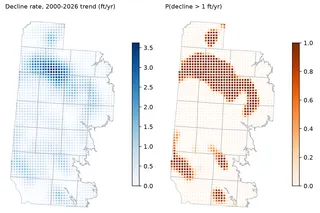
Testing whether the Ogallala under the Southern High Plains is falling no faster than its legal target, and how many wells it takes to know.
- What makes a corner look like a gas station site?
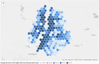
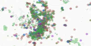
Ranking every corner parcel around Austin by how much it resembles the places convenience stores with fuel actually get built.
- Floodplain pain
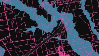
Calculating absolute and relative Special Flood Hazard Area for Texas land parcels.
- Contiguously(ish) owned land
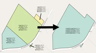
Identify and aggregate land parcels that are either contiguous or nearby and share common ownership attributes using PySAL and NetworkX.
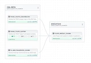
- Building a po' boy's spatial data pipeline from scratch with Dagster, GeoParquet, & R2
Here I build a simple geospatial data pipeline to fetch data from ArcGIS Feature Servers and write / read it to GeoParquet in Cloudflare R2.
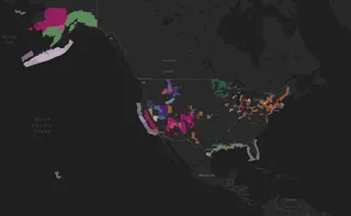
- Mapping National Weather Service hazards with Fused & H3
Here we use Fused.io to fetch current NWS hazards, fill them with H3 cells, and produce a serverless endpoint anyone can call.
- Proximity & overlay analysis for upstream site selection
I use basic proximity & overlay tools in QGIS to narrow 899,214 low-probability land parcels into 1,329 potential winners.
- Time is money, they say
The "time value of money" and how to use it to make wiser investment decisions.